Khrebet Shchuki-Poktoy
Appearance
Paghimo ni bot Lsjbot. |
| Khrebet Shchuki-Poktoy (Хребет Щуки-Поктой) | |
| Khrebet Chuki-Poktoy, Khrebet Shuki-Paktoy, Shuki-Poktay, Khrebet Shuki-Poktai, Khrebet Shuki-Poktoy | |
| Kabukiran | |
| Nasod | |
|---|---|
| Lalawigan | Yevreyskaya Avtonomnaya Oblast' |
| Gitas-on | 742 m (2,434 ft) |
| Tiganos | 48°47′25″N 132°39′06″E / 48.7903°N 132.65175°E |
| Highest point | |
| - location | Gora Budukan |
| - elevation | 854 m (2,802 ft) |
| - coordinates | 48°53′25″N 132°17′57″E / 48.89024°N 132.29912°E |
| Kadugayon | 49 km (30 mi), habagatan-sidlakan |
| Timezone | NCT (UTC+11) |
| GeoNames | 2016618 |
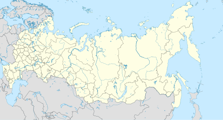
Kabukiran ang Khrebet Shchuki-Poktoy (Rinuso: Хребет Щуки-Поктой) sa Rusya.[1] Nahimutang ni sa lalawigan sa Yevreyskaya Avtonomnaya Oblast', sa habagatan-sidlakang bahin sa nasod, 6,000 km sa sidlakan sa Moscow ang ulohan sa nasod.
Khrebet Shchuki-Poktoy mihatag alang sa 49 km sa usa ka habagatan-sidlakan nga direksyon.[saysay 1] Ang labing taas nga punto mao ang Gora Budukan, 854 metros ibabaw sa dagat nga lebel.
Ang mosunod nga mga bukid sa mga bahin sa Khrebet Shchuki-Poktoy:
- Gora Bol'shoy Ushumun
- Gora Budukan
- Gora Dubovaya Sopka
- Gora Gol'tsy
- Gora Poktoy
- Gora Shchuki
- Gora Sylbak
- Khrebet Gol'tsy
Saysay
[usba | usba ang wikitext]- ↑ Kalkulado gikan sa gitas-on data (DEM 3") gikan sa Viewfinder Panoramas.[2] Ang bug-os nga algoritmo anaa dinhi.
Ang mga gi basihan niini
[usba | usba ang wikitext]- ↑ Khrebet Shchuki-Poktoy sa Geonames.org (cc-by); post updated 2012-10-06; database download sa 2017-01-07
- ↑ "Viewfinder Panoramas Digital elevation Model". 2015-06-21.
