Ondrašovce
Ondrašovce | |
|---|---|
Village | |
 | |
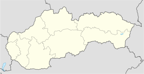 Ondrašovce Location of Ondrašovce in Slovakia | |
| Coordinates: 48°59′N 21°05′E / 48.983°N 21.083°E | |
| Country | Slovakia |
| Region | Prešov |
| District | Prešov |
| First mentioned | 1427 |
| Government | |
| • Mayor | Jozef Lopuchovský (Smer-SD) |
| Area | |
| • Total | 4.36 km2 (1.68 sq mi) |
| Elevation | 460 m (1,510 ft) |
| Population (2021)[3] | |
| • Total | 60 |
| • Density | 14/km2 (36/sq mi) |
| Postal code | 082 33 |
| Car plate | PO |
Ondrašovce (Hungarian: Andrásvágás) is a village and municipality in the Prešov District of the Prešov Region of eastern Slovakia.
History
[edit]In the historical records the village was first mentioned in 1427.[4]
Geography
[edit]The municipality lies at an altitude of 460 metres and covers an area of 4.356 km². It has a population of about 60 people.
References
[edit]- ^ "Súbory na stiahnutie - Voľby do orgánov samosprávy obcí 2022". volby.statistics.sk. Retrieved 11 August 2024.
- ^ "Registry of Land" (PDF). www.skgeodesy.sk. Retrieved 11 August 2024.
- ^ "SODB2021 - Population - Basic results". www.scitanie.sk. Retrieved 11 August 2024.
- ^ Nové obzory (in Slovak). Vydalo Východoslovenské vydavatelstvo pre Múzeum Slovenskej republiky rád v Prešove. 1971. p. 156. Retrieved 11 August 2024.
This Prešov Region geography article is a stub. You can help Wikipedia by expanding it. |